
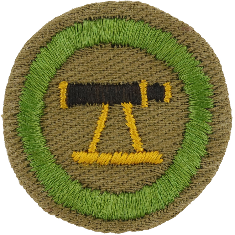
Fig. 1: Survey-C4-Front
- Cloth: Lightweight tan right twill
- Embroidery: Cotton loop continuous
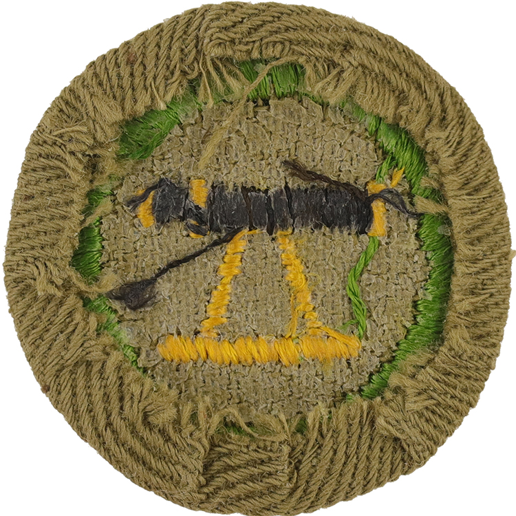
Fig. 2: Survey-C4-Reverse
- Back: Plain NO imprint with starch
Item Name: Surveying 1939 - 1943
Item ID: Survey-C4
Collector Rating: 1
Pamphlets Used to Earn this Badge


Requirements October 1914 until December 1941
1. Map correctly from the country itself the main features of half a mile of road, with 440 yards each side, to a scale of two feet to the mile, and afterward draw same map from memory.
2. Measure the width of a river.
3. Measure the height of a tree, telegraph pole, or a church steeple, describing the method adopted.
4. Be able to measure a gradient.
5. Understand the use of the plane table.
Requirements December 1941 until June 1953
1. Map correctly from the country itself the main features of half a mile of road, with 440 yards each side, to a scale of one inch to two hundred feet, and afterwards draw same map from memory.
2. Measure the width of a river.
3. Measure the height of a tree, telegraph pole, or a church steeple, describing the method adopted.
4. Be able to measure a gradient.
5. Understand the use of the plane table.