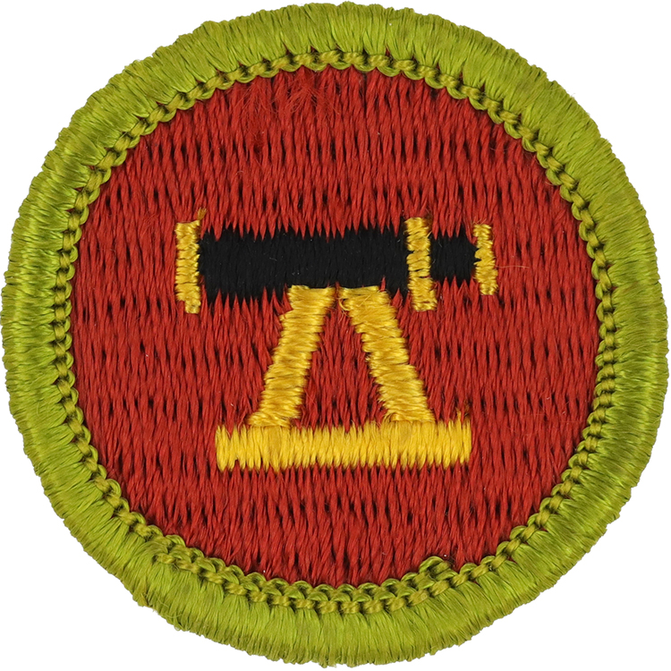
Fig. 1: Survey-G-Front
- Embroidery: Cotton thread
- Border: Merrowed
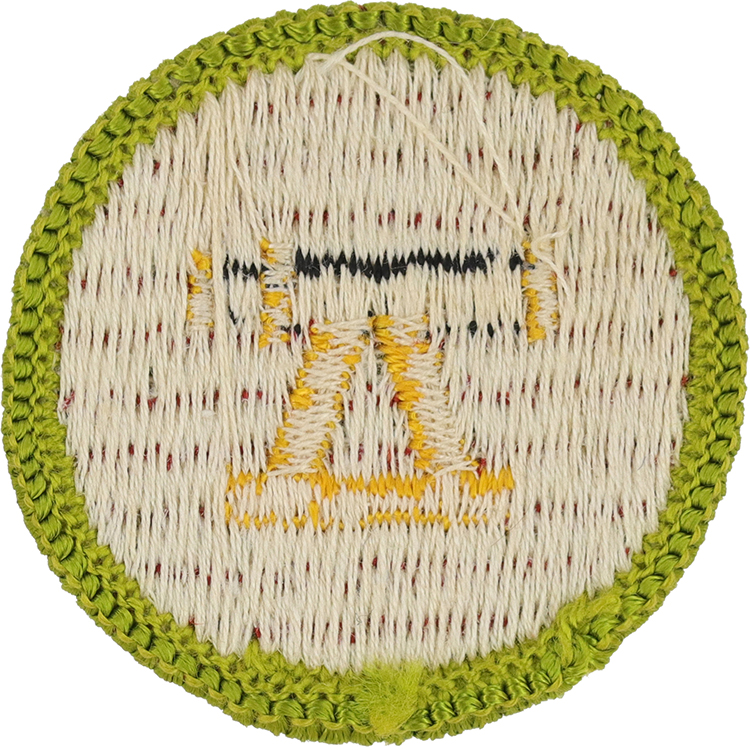
Fig. 2: Survey-G-Reverse
- Back: Starched cloth
Item Name: Surveying 1969 - 1972
Item ID: Survey-G
Collector Rating: 1
Pamphlets Used to Earn this Badge

Requirements September 1963 until June 1972
Complete First Class Test 4.
1. Do ONE of the following two projects:
(a) From an initial point, measure by tape a range line north 330 feet and south 330 feet. Using the same initial point and procedure, establish a base line east 330 feet and west 330 feet. Locate the main features of the area by compass readings and pace measurements from one or more stations along the range or base lines.
(b) Establish the corners of a lot described as follows: from a point of beginning; thence running (1) south 83 degrees 30 minutes east, 78 feet; thence (2) north 35 degrees 30 minutes east, 86 feet; thence (3) north 64 degrees west, 47 feet; thence (4) north 89 degrees 30 minutes west, 51.2 feet; thence (5) south 22 degrees 30 minutes west, 88.9 feet to the point of beginning. Your error of closure must not exceed 5 feet. Locate the main features of the lot by compass readings and pace measurements from its corners.
2. From the field notes gathered for Requirement 1, draw a map to a convenient scale. Submit a neatly drawn copy of your map to your counselor.
3. Use the initial point or point of beginning as a bench mark with an assumed elevation of 100 feet to determine the elevation of four other points.
4. Without traversing a distance of approximately 300 to 3,000 feet, determine its length by proper surveying methods; then tape the distance. Your figure must be within 5 percent of the taped measurement.
5. Determine the height of a point by accepted surveying methods that can be checked by raising or lowering a tape. Your figure must be within 5 percent of the taped measurement.
6. Discuss with your counselor the development and importance of surveying.
1st class test
4. Using compass and your step measurements, make a sketch map of an area approved in advance by your leader. Include map symbols indicating location of at least 10 landmarks, a north arrow, and scale in feet.
The size of the area to be mapped will be decided by the leader. It will vary according to the type area to be mapped, but must be at least large enough to include the landmarks called for. These landmarks include such items as are common to a topographic map (lake, stream, trail, road, building, forest, swamp, etc.) plus additional things not common to topographic maps (tents, fireplaces, etc.). Standard topographic map symbols will be used where such symbols apply, but additional symbols may be created and shown in a code on the map. While this is a sketch map, use of compass and step measurements calls for a reasonably accurate map including a map scale.